After visiting Rhyolite we headed over to Titus Canyon Road, a steep, rugged, beautiful and fun to drive road. Unless it’s rained recently, the road should be entirely safe, even for passenger vehicles (of which we saw quite a few; the road was actually somewhat busy given it’s location and condition.)
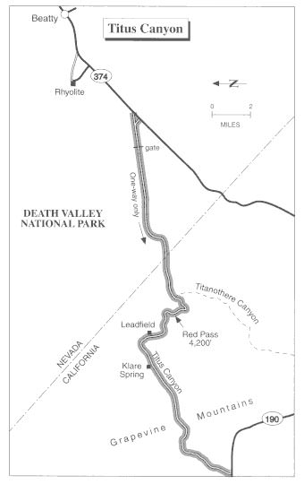
This map places Titus Canyon and Rhyolite in perspective. Note the odd orientation, north on this map is to the left, not the top.

The so-called west entrance, (Titus Canyon Road is one-way and exits on the west side), demonstrates how quickly the canyon closes off apparent access.

Similar to the overlay of a GPS recorded track on a map, here we have an example of doing something very much related; overlaying the recorded GPS track over a photo of a small section of Titus Canyon. Following the link to the original photo one may further zoom in or out to explore the Titus Canyon area from an aerial perspective.

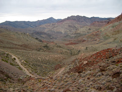
A photo somewhere near the middle of Titus Canyon.

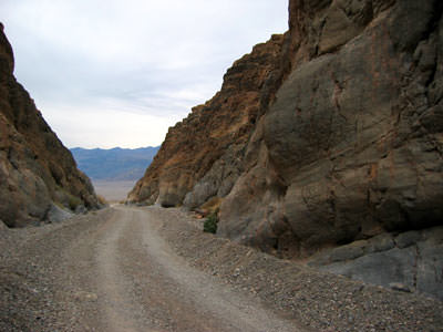
The view leaving Titus Canyon, heading west.

